
Street-by-Street Search in Contra Costa County
The address workflow begins with land identity. In Contra Costa County, an address can lead to a parcel, an APN, an assessed owner, a deed chain, and a permit jurisdiction. Those records are stronger when joined in order than when searched as loose names. A street directory search can then add an older reverse directory or a lawful voter channel for a time-specific question. It still cannot promise a complete list of people at a house.
Use the same address spelling long enough to capture the county's preferred situs form, then save the APN and map date. Keep the tax mailing address beside, not in place of, the situs address. The five-step path below keeps current parcel facts, historical title facts, and restricted voter information distinct.
- Address to CCMap and Assessor APN. Enter the street address in the county map or Assessor property route, choose the matching situs suggestion, and record the APN, parcel outline, jurisdiction, and displayed result fields.
- APN to the assessed record. Compare the situs address, assessed owner or assessee display, mailing address, values, and property characteristics. A mailing address is a tax-contact clue, not automatic proof of residence.
- APN to the deed chain. Search the current owner's name as grantee in the Clerk-Recorder index, confirm the legal description, then search the grantor as grantee to move backward.
- Use a lawful voter channel. The individual voter lookup is for the person's own verification. A file request requires an Elections Code purpose and the current application process; it is not a public street browse.
- Read the reverse directory. Ask the library or local history desk for the community and year, then use the street-and-number section to test historic occupants or subscribers against the parcel trail.
The order matters. Starting with a name alone can merge two people. Starting with a map can identify the right land before the recorder, permit, and historical sources are searched.
Contra Costa County Street Search Fields
The county Assessor property route and the CCMap viewer handle different parts of the same task. The Assessor maintains the assessment roll, parcel identifiers, values, and property characteristics. CCMap displays parcel geometry, situs search, layers, identify tools, notification buffers, and report controls. Search by the Assessor Parcel SITUS address when the goal is to locate land. Search by APN when a street spelling, unit label, or historic address creates a mismatch.
An address or APN selection zooms to the parcel, outlines it in blue, and places a report in the left pane. The notification tool can select neighboring APNs after a buffer or interactive geometry is supplied. That output is a parcel notification list, not proof of every person who lives at the selected addresses.
Note: A parcel popup identifies mapped land, but it cannot establish who occupies the building or whether a mailing address is a residence.
| Field or control | Type | Required | Options and behavior |
|---|---|---|---|
| Find Assessor Parcel by APN | Autocomplete text | Yes for APN search | Enter the APN with dashes; after the first three numbers and dash, select a matching APN and press Search. |
| Find Assessor Parcel by Address | Autocomplete text | Yes for address search | Searches the Assessor Parcel SITUS address; after the first three address numbers, choose a similar-address match and press Search. |
| Search Type | Radio or choice | Yes for notification list | Parcel Number (APN) or Interactive. |
| Geometry input | Map tool | Conditional | Interactive mode supplies geometry for selecting parcels on the map. |
| Buffer Distance | Numeric input | After subject selection | Applies a buffer around selected APN subjects and selects neighboring parcels. |
| Identifiable Layers | Checkboxes | Optional | Turns layers on or off for identify results. |
| Enable Add Results / Subtract Results | Toggles | Optional | Accumulates selections or removes areas from the result set. |
| Distance / Area | Drawing tools | Optional | Reports feet, area, and perimeter; measurement is not a survey. |
| Export Type / friendly file name | Choice and text | Conditional | Select output and use Download Report; map-image export offers file-type choices. |
| Visible map layers | Expandable checkbox tree | Optional | Expand layer groups and select the reference layers to display. |
The CCMap external viewer is the exact map route identified in the county research. Its CCMap Help v3.1 instructions describe the autocomplete, notification, layer, and export controls. The Assessor page and counter remain important when the web report omits an owner or mailing field, because California internet-display limits can change what the public map shows.
Contra Costa County Address Records
A situs address locates the land or improvement being assessed. A tax mailing address tells the county where assessment correspondence goes. The two can match, but they can also point to different places. A mailing address outside Contra Costa County may belong to an owner, trust, business, manager, or representative. It is a useful lead for a record trail, not proof that the owner lives at the parcel.
Typical Assessor and parcel results can include APN, situs or location address, assessed owner where the field is available, tax-mailing name and address, land and improvement values, total assessed value, property characteristics, tax-rate area or jurisdiction links, and map geometry. They do not normally enumerate non-owner occupants, household members, phone numbers, or email addresses. Record the assessment year and the exact field label.
- Situs address
- The physical location assigned to the assessed parcel or improvement.
- Mailing address
- The destination for tax or assessment correspondence, which may not be the situs or a residence.
- APN
- The Assessor's Parcel Number, a county land-record key that can bridge the map, assessment, tax, permit, and deed systems.
- Plat
- A recorded map that lays out lots, blocks, streets, or other land divisions and can preserve identity when an address changes.
When a street name or number fails, preserve the APN and legal description rather than silently changing the address. That habit prevents a postal label or a tax-contact address from becoming a false residence claim.
Contra Costa County Street GIS Walk
CCMap supports a careful walk of one named street. Locate a verified address, zoom out one or two levels, keep parcel outlines visible, and click each parcel in order. Copy the APN first, then record the situs address, jurisdiction, visible owner or assessee field, and map date. Corner lots need both frontages because the situs label may use the cross street. Condominiums and other multi-unit properties may resolve to a parent parcel or separate APNs rather than a list of occupants.
Use layers sparingly. Parcel, city-limit, unincorporated, planning, land-use, service-district, and election-district layers can answer different questions, and each layer has its own effective date and disclaimer. The distance and area tools estimate geography. They do not establish a legal boundary. A buffer is useful for a notification list, but for an immediate neighbor question, shared parcel edges should be defined before expanding outward.
After the parcel walk, join the APNs to the Assessor result, the recorder's name index, and the permit custodian. This is where a street directory becomes a record chain rather than a collection of map popups.
Contra Costa County Street Directory Records
Address-keyed sources overlap, but they do not show the same people or facts. A street directory record set should be labeled by its keeper and its record design. The APN is the main join key for current land records. The street and house number are useful for permits and historical reverse directories. Voter access has a different legal gate.
| Record set | Keeper | What it shows | Access |
|---|---|---|---|
| CCMap parcel viewer | Contra Costa GIS | Parcel geometry, APN, situs, layers, and jurisdiction context | Free interactive viewer |
| Assessor property record | County Assessor | Assessed owner, situs, tax mailing address, values, and characteristics | Property resources or counter |
| Recorder official-record index | Clerk-Recorder | Grantor, grantee, document type, date, number, and map references | Index; copies through custodian |
| Permit and code portal | City or county department | Permit number, site, project, status, dates, and published project contacts | Correct city or county jurisdiction |
| Historical reverse directory | Library or historical repository | Listed subscriber or occupant by street and house number for a stated year | Volume, database, or in-person access |
| Voter records | County Elections and California SOS | Registration fields allowed for self-check or approved statutory purpose | No open street roster |
This coverage table is the practical boundary of a Contra Costa County street directory. It can identify land, recorded parties, project participants, and historical entries. It cannot turn one address into a complete household roll. For current parcel detail, the Assessor and CCMap own the first step; for an older occupant, the library shelf may be the better source.
Contra Costa County Permit Records
Determine jurisdiction before searching a permit or code file. Contra Costa's 19 incorporated cities maintain their own planning, building, code, and licensing records. Unincorporated addresses use the County Conservation and Development ePermits Center and related public-record channels. CCMap can help establish the boundary, but a postal place name does not settle it.
Permit records may show an application or permit number, address, APN, type, description, issue or final date, valuation, status, contractor, and published applicant contacts. Plans can have copyright, security, or authorization limits. A permit identifies a project and its participants, not every person who uses the parcel. Code complaints can also protect the complainant's identity.
For an unincorporated address, the county ePermits Center and Building Records Research Request form ask for the property address, APN, requested record types, delivery choice, and authorization where protected plans are involved. For a city address, send the same precise description to the city that created the file rather than to the countywide request portal.
APN to Contra Costa County Deed Records
The Clerk-Recorder index is searched by principal party name, approximate recording years, document type, document number, or book and page where available. It is not a reliable street-address index for older instruments. Start with the APN and current assessed owner, find the acquisition deed as a grantee, inspect its legal description and counterparties, and then search the named grantor as a prior grantee. Keep instrument number, recording date, party role, and legal description in the log.
The Clerk-Recorder's official information points to the Recorded Documents Search and Ordering route. It says recorded documents and maps are public for viewing, and that the cumulative map index covers subdivisions, parcel maps, surveys, and assessment districts. Search and viewing at the Martinez counter are free under the documented channel. The online system and document images can change, so confirm current reach before assuming a missing online hit means no deed exists.
Call the Clerk-Recorder at 925-335-7900 to confirm older index books, film, copy or certification options. The land trail begins with county formation in 1850, but the research did not establish a single universal earliest online image year. Use the counter when the remote path ends.
- Grantor
- The party who transfers or conveys an interest in a recorded instrument.
- Grantee
- The party receiving the conveyed interest in that instrument.
- Legal description
- The recorded land description, such as a subdivision lot or metes-and-bounds call, that controls when a street label changes.
- Chain of title
- A linked sequence of recorded conveyances that traces land interests backward through prior parties.
Reading a Contra Costa County Reverse Directory
Historical city and telephone directories add the address side that a deed cannot supply. At the County Library History Center or another local repository, identify the correct community and year. Open the street or reverse section, find the street alphabetically, then locate the house number. Transcribe the entry exactly, including a spouse, occupation, residence marker, boarding symbol, householder mark, telephone, or business note only when the volume's abbreviation key defines it.
The Richmond Museum finding guide shows why territory matters. Richmond-area runs include a 1903 county telephone book, Polk editions beginning in 1910-1911, and later western-county telephone books with gaps. East-county catalogs separately include Pittsburg, Antioch, West Pittsburg, Shore Acres, and Brentwood items. A missing year may reflect the holding, publication, canvass, or a change in territory rather than a vacant address.
A reverse directory is a time-stamped clue. It can omit non-subscribers, children, newly arrived people, and households that declined canvassing. Pair it with APN, deed, census, newspaper, or probate evidence. The full collection history and entry-reading method belong on the Contra Costa County city directory page.
Note: A reverse-directory omission may reflect a publication gap or nonlisting, not a vacant address.
Old Labels in Contra Costa County Records
Postal geography and historic place names can make a street search look broken. Contra Costa records may use Rust, Stege, Pullman, West Pittsburg, or Shore Acres rather than a present municipality. The Richmond directory territory labeled El Cerrito as Rust in a 1922-1923 guide, while earlier volumes expressly included Pullman, San Pablo, and Stege. A postal city such as Martinez, Richmond, Concord, or Pittsburg can also extend beyond the incorporated boundary.
Bridge the label with the legal description, APN lineage, subdivision or parcel map, Sanborn sheet, and a contemporaneous street guide. Preserve the old label in the query log and try the current label separately. A community name change does not prove that the listed person moved, and a new address label does not prove that the building changed.
This continuity work is especially important in the county's older shoreline and industrial areas, where directories, maps, deeds, and later city systems use different geographic vocabularies.
Note: Preserve the historical place label alongside the modern one so a failed current-name search is not mistaken for a missing record.
Contra Costa County Voter Records
There is no open Contra Costa street directory of registered voters. The county's My Voting Information route and California's My Voter Status route are individual verification tools. The requester's own identifying inputs may return registration and election information. They do not authorize copying nearby voters or testing an address against a public surname list.
California Elections Code sections 2188 and 2194 allow file access only for listed election, scholarly, journalistic, political, or governmental purposes and under the current application and security rules. A specific-voter request requires full name, date of birth, county, and residence address. Confidential registrations and affidavit fields such as signature, driver-license or ID data, and other voter identifiers stay excluded. Voter history describes whether and how a ballot was cast, never the choice on the ballot.
Use the voter channel only when the purpose and access route fit. For a block or named street, rely first on parcel, deed, permit, directory, and civic records that are actually public, then document the limits rather than implying that a missing voter result means a missing resident.
Fallbacks for Contra Costa County Records
When an address does not appear in a web search, move through the documented fallback chain. The Assessor counter at 2530 Arnold Drive, Suite 100, Martinez, can clarify public roll fields. The Clerk-Recorder counter at 555 Escobar Street can bridge older deed books, maps, and images. Phone the relevant office before travel to confirm hours, index reach, copy rules, and the name or APN needed for a search.
For an existing county administrative record, use the county public-record guidance and the California Public Records Act request portal or a department counter. State the address, APN, record type, date range, and creating department. A CPRA response determines whether records are disclosable; it does not force an agency to build a list or answer a broad investigative question. Incorporated-city permits and code cases require a request to that city. Unincorporated building records use county Conservation and Development.
The county's public-record access guidance is the reference point for a precise fallback request when a street search stops online.
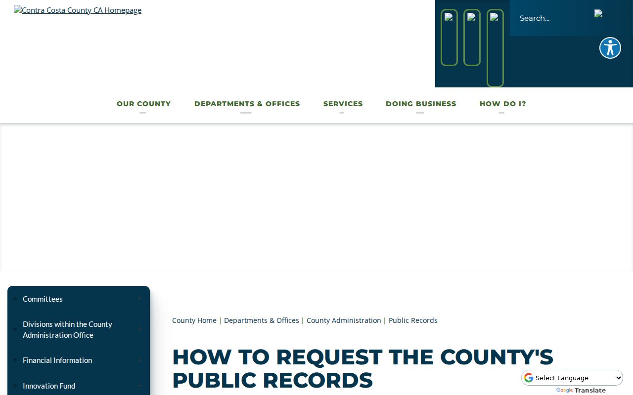
The public-records view belongs with a defined custodian, record type, address or APN, and date range, not a request for an unbounded household list.
The County Library can identify reverse directories, newspaper microfilm, yearbooks, and database access. The History Center can bridge assessor books, maps, court and probate material, obituaries, and local directories. The California State Archives and Online Archive of California help locate transferred county-government or manuscript holdings, but neither should be treated as a complete deed replacement.
Note: A narrow request naming a custodian, record type, address, and date range is more useful than asking an office to find everyone at a street.
Limits on a Contra Costa Street Directory
A Contra Costa County street directory can show a parcel, an assessed owner, a recorded party, a permit participant, or a time-stamped historical entry. It cannot show every occupant, family member, visitor, or person who receives mail at an address. DMV personal information is restricted, utility customer data is not a public household register, and voter records are purpose-limited. An owner can receive tax mail elsewhere, while a person who lives at a parcel may never appear in the assessment or deed trail.
Use independent sources for a lawful personal question and stop when a record is confidential or access is denied. Correct an error with the agency that created the record: Assessor, Clerk-Recorder, Elections, court clerk, city, or county department. A compiled listing cannot amend an official file.
Lawful use. Address and parcel records in Contra Costa County may support personal, family-history, civic, or property research. California stalking, criminal-threat, and harassment laws still apply. Do not use a street search to stalk, harass, intimidate, or harm anyone.