
Contra Costa ZIP Coverage
Postal areas in Contra Costa County include ordinary delivery ZIPs, PO-box or special-use entries, and small communities whose mailing name does not settle the government jurisdiction. The coverage table preserves the local distinctions documented in the research. It is a postal map, not a list of residents. Verify a real address with USPS before using any ZIP as a search key.
| ZIP Code | Areas Covered | Post Office | Notes |
|---|---|---|---|
| 94505 | Discovery Bay and nearby eastern county | Discovery Bay | Standard; unincorporated community |
| 94506 | Danville and Blackhawk | Danville | Standard; Blackhawk is unincorporated |
| 94507 | Alamo | Alamo | Standard; unincorporated |
| 94509 | Antioch | Antioch | Standard; older and north/west coverage |
| 94511 | Bethel Island | Bethel Island | Standard; unincorporated island |
| 94513 | Brentwood | Brentwood | Standard; may include rural delivery |
| 94514 | Byron | Byron | Standard; unincorporated and rural |
| 94516 | Canyon | Canyon | Small standard rural postal area |
| 94517 | Clayton | Clayton | City plus nearby rural addresses |
| 94518 | Concord | Concord | Standard |
| 94519 | Concord | Concord | Standard |
| 94520 | Concord and nearby north/west areas | Concord | Postal overlap toward unincorporated areas |
| 94521 | Concord | Concord | Eastern and southern Concord |
| 94522 | Concord | Concord | PO-box or special-use; verify recipient |
| 94523 | Pleasant Hill | Pleasant Hill | Postal geography does not equal city limits |
| 94524 | Concord | Concord | PO-box or special-use; verify recipient |
| 94525 | Crockett | Crockett | Standard; unincorporated |
| 94526 | Danville | Danville | Standard; central and west Danville |
| 94527 | Concord | Concord | PO-box or special-use; verify recipient |
| 94528 | Diablo | Diablo | Small standard ZIP; unincorporated community |
| 94529 | Concord | Concord | PO-box or special-use; verify recipient |
| 94530 | El Cerrito and Kensington mailing area | El Cerrito | Kensington is unincorporated Contra Costa |
| 94531 | Antioch | Antioch | Standard; southern and eastern Antioch |
| 94547 | Hercules | Hercules | Standard |
| 94548 | Knightsen | Knightsen | Standard; unincorporated and rural |
| 94549 | Lafayette | Lafayette | Standard |
| 94553 | Martinez and central unincorporated areas | Martinez | Postal Martinez extends beyond the city |
| 94556 | Moraga | Moraga | Standard |
| 94561 | Oakley and nearby delta areas | Oakley | Standard; rural delivery may occur |
| 94563 | Orinda | Orinda | Standard |
| 94564 | Pinole | Pinole | Standard |
| 94565 | Pittsburg and Bay Point | Pittsburg or Bay Point | Bay Point is unincorporated |
| 94569 | Port Costa | Port Costa | Standard; small unincorporated community |
| 94570 | Moraga | Moraga | PO-box or special-use; verify recipient |
| 94572 | Rodeo | Rodeo | Standard; unincorporated |
| 94575 | Moraga | Moraga | PO-box or special-use; verify recipient |
| 94582 | San Ramon | San Ramon | Standard; newer and eastern coverage |
| 94583 | San Ramon | San Ramon | Standard; central, west and postal fringe |
| 94595 | Walnut Creek, including Rossmoor area | Walnut Creek | Standard |
| 94596 | Walnut Creek | Walnut Creek | Standard; central Walnut Creek |
| 94597 | Walnut Creek | Walnut Creek | Standard; western and northern areas |
| 94598 | Walnut Creek | Walnut Creek | Standard; eastern area and postal fringe |
| 94599 | Walnut Creek | Walnut Creek | PO-box or special-use; verify recipient |
| 94707 | Berkeley and Kensington fringe | Berkeley station | Verify county and parcel jurisdiction |
| 94708 | Berkeley and Kensington hills fringe | Berkeley station | Verify county and parcel jurisdiction |
| 94801 | Richmond, central/north and Point Richmond | Richmond | Standard |
| 94802 | Richmond | Richmond | PO-box mailing ZIP |
| 94803 | Richmond, El Sobrante and nearby areas | Richmond-area station | Postal geography includes unincorporated areas |
| 94804 | Richmond | Richmond | Standard; south and central Richmond |
| 94805 | Richmond | Richmond | Standard; north and east Richmond |
| 94806 | San Pablo, Richmond and nearby areas | San Pablo | Mailing label does not equal city boundary |
| 94807 | Richmond | Richmond | PO-box mailing ZIP |
| 94808 | Richmond | Richmond | PO-box or special-use; verify recipient |
| 94820 | Richmond | Richmond | PO-box or special-use; verify recipient |
| 94850 | Richmond | Richmond | Unique or special-use; verify recipient |
Standard ZIPs describe delivery territory. A PO-box entry is tied to a box or special mailing function, and a unique ZIP should be treated as a recipient-specific code rather than a neighborhood. Kensington, Bay Point, El Sobrante, Blackhawk, Alamo, Rodeo, Crockett, Bethel Island, Byron, Knightsen, and Discovery Bay show why a familiar postal place is not a municipal record custodian.
Note: Research did not locate a dated countywide ZIP split history or per-ZIP resident count, so no change date is inferred.
USPS for Contra Costa ZIP Codes
The USPS ZIP Code Lookup is the address authority for delivery verification. Enter a known street address with its postal city and state, then save the returned ZIP or ZIP+4 with the date of the check. A result confirms how USPS routes the address. It does not identify residents, establish city limits, or replace the Assessor's situs field.
| Street address | Use the known delivery address as the primary input; retain unit information when the form accepts it. |
|---|---|
| Postal city and state | Enter the mailing place and California, then compare the result with the parcel jurisdiction. |
| ZIP or ZIP+4 result | Record the returned delivery code; ZIP+4 narrows a delivery segment but does not draw a government boundary. |
| Lookup action | Submit the address request and repeat with a documented spelling variant if no match appears. |
The USPS form is most useful at the start of a postal-area directory workflow. It prevents a searcher from treating a city label in an old letter or directory as the current postal answer. It also gives a clean comparison point when a tax mailing address, a parcel situs, and a historical street entry do not use the same place name.
The captured USPS view at the official address lookup form shows why address verification belongs before a ZIP-based records search.
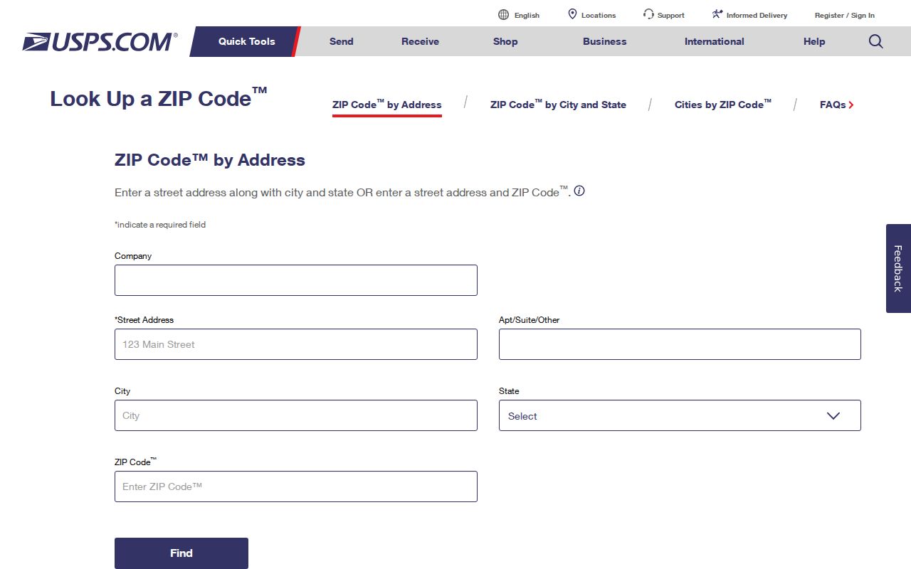
The image is a reference point for the delivery check. Use the live USPS form for the current response, then take the returned ZIP into the county map only as one layer of the inquiry.
Note: USPS confirms delivery routing, while CCMap confirms parcel context, and neither source names every resident.
CCMap and Contra Costa ZIP Boundaries
CCMap External answers a different question from USPS. Its parcel viewer can locate an address or APN, show the parcel outline, and place the land against city-limit and unincorporated-area layers. It can also expose district and planning context. The map helps determine which government owns a permit or code record. It does not turn a ZIP code into a resident list.
Think of the postal-area directory as three maps laid on top of one another: USPS delivery geography, government jurisdiction, and Assessor parcel geography. The maps can disagree without any error. A 94530 mailing line may point toward El Cerrito while the parcel is in Kensington. A 94565 mailing line can include Bay Point, even though Bay Point is not an incorporated city. A 94553 line can say Martinez for land outside the incorporated city.
The county GIS image captured at CCMap External shows the parcel-oriented view used to test those differences.
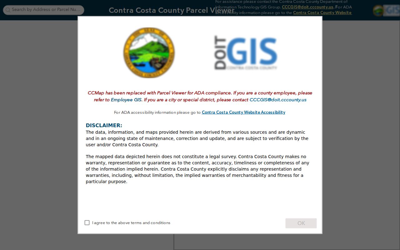
Use the map as a jurisdiction check. The visible parcel, city-limit layer, and ZIP result together make a stronger address record than any one label alone.
Searching Contra Costa ZIP Records
A ZIP code narrows a known address, but the county systems do not offer one dependable ZIP-wide residents search. The practical workflow moves from delivery verification to parcel identity, then routes each record type to its actual keeper. When a ZIP crosses an incorporated city, the same postal search can lead to separate permit or code offices.
- Verify the full address with USPS and save the ZIP or ZIP+4 returned.
- Open CCMap, locate the situs address, and record the APN and city or unincorporated jurisdiction.
- Use the Contra Costa Assessor property route for an address or APN record, while treating owner and mailing fields as land-record clues.
- Route permits and code cases to the city or the county ePermits Center that governs the parcel.
- Use voter self-lookup only for the individual verification it is designed to provide, or follow the approved California voter-file request process for a lawful purpose.
Once a ZIP has narrowed the geography, the Contra Costa street directory is the better place for a street-by-street parcel workflow. A postal directory should hand off at that point rather than pretending the postal area is a household roll.
Note: A ZIP narrows a research queue, but the full address and APN still control the county record search.
Postal Cities Versus Contra Costa Jurisdictions
Postal names are mailing conventions. Government records follow the place that created the record. That distinction is material in Contra Costa because nineteen incorporated cities sit beside a large unincorporated area. An address can carry a Danville, El Cerrito, Pittsburg, Richmond, San Pablo, Concord, Walnut Creek, or Martinez mailing name while the parcel belongs to a different civic jurisdiction.
Before ordering a permit record, check CCMap and then the city or county department. The county ePermits Center is the route for unincorporated county development records. Incorporated-city permits remain with the city that issued them. A postal guide can point to the right starting area, but it cannot decide which clerk holds the file.
For voter information, the postal city is not a shortcut. Elections records are governed by California rules and precinct geography, not by the ZIP rows above. For historical sources, search the community name used in the year of the record, then test nearby city editions and older place labels.
Note: A mailing city is a routing clue; the issuing jurisdiction determines which public office can answer a records request.
PO-Box ZIPs in Contra Costa
Several entries in the Contra Costa postal directory are marked as PO-box or special-use. The research identifies 94522, 94524, 94527, 94529, 94570, 94575, 94599, 94802, 94807, 94808, and 94820 as entries that need recipient-level verification. They should not be drawn as if they were ordinary residential neighborhoods.
94850 is described as a unique or special-use ZIP. A unique ZIP can serve a narrow delivery function or a specific recipient group. The code alone does not tell a searcher how many people receive mail there, whether the location is a parcel, or which public record would identify a person. Use USPS for the actual address and the responsible custodian for any record request.
Special-use treatment also matters in historical work. A letter, directory, or tax record may preserve a PO box while the physical situs lies elsewhere. Keep the mailing line as evidence of delivery, not as a substitute for the APN, legal description, or parcel map.
Assessor Parcels Inside a ZIP
The Contra Costa Assessor and CCMap are principally address and APN tools. The research documents property-address search, APN search, map click, and layer controls. They can return an APN, situs, displayed assessee where legally available, tax-mailing address, assessed values, property characteristics, and parcel geometry. They are not designed to return every occupant in a ZIP.
Use the ZIP only as a lead. Enter a full situs address or the APN, then note the record's as-of year and the jurisdiction shown. If owner-name access is restricted or a web result omits a field, ask the Assessor what public information is available through the counter at 2530 Arnold Drive, Suite 100, Martinez. The public property page remains the starting route, while the counter rules control what can be released.
A tax mailing address can be outside Contra Costa County. It may belong to a trust, business, manager, or another contact. Matching it to the situs is useful corroboration, but it does not prove who occupies the parcel. That distinction keeps the postal directory tied to its actual evidence.
Voter Rules for Contra Costa ZIP Searches
The Contra Costa Elections My Voting Information lookup and California's My Voter Status route are self-verification tools. They ask for identifying information supplied by the voter and can return registration status and election details. They do not provide an open ZIP or street browse of registered people.
California Elections Code sections 2188 and 2194 govern voter-file access. The Secretary of State request process can serve qualified election, scholarly, journalistic, political, or governmental purposes, with a current application, purpose statement, geography, file components, and use conditions. A ZIP request is therefore a regulated file request, not a casual search option. Confidential registrations and protected fields remain excluded.
Voter data can support self-verification or documented research when the requester qualifies. It cannot be described as a complete ZIP roll, and voting history never reveals a person's ballot choices.
Historical ZIP Address Changes in Contra Costa
The research located no authoritative dated history of countywide ZIP splits or realignments. That gap matters. Do not infer a change year from a current ZIP code, a directory cover date, or a familiar postal city. For an older address, preserve the original place name, street spelling, route, and ZIP as printed, then compare the legal description and parcel lineage.
The County Library's History Center resources, historical newspapers, reverse directories, and maps can show how an address was described in a particular year. The Assessor and recorded instruments provide the land identity. A subdivision map, lot and block reference, or metes-and-bounds description may bridge a changed street label more reliably than a ZIP alone.
Research is strongest when the old mailing line, the contemporary directory entry, the legal description, and the modern APN are recorded side by side. The postal directory is one layer of that continuity check, not the final answer.
Contra Costa ZIP Limits
A postal directory can verify delivery geography and help sort a research queue. It cannot supply a resident roster, certify that a person lives at a situs, or replace a custodian's access rule. Utility accounts, delivery records, private member lists, and protected voter information remain outside the public parcel workflow.
- ZIP versus ZIP+4
- A ZIP identifies a delivery area. ZIP+4 adds a more precise delivery segment; it is not a city or parcel boundary.
- PO-box ZIP
- A code used for post-office boxes or a special mailing function, not necessarily for a set of physical parcels.
- Unique ZIP
- A narrow code associated with a specific recipient or delivery purpose. Confirm the actual address before drawing conclusions.
- Carrier route
- A USPS delivery route within a ZIP. It is a routing concept, not a public list of the people served.
Lawful use. Use Contra Costa postal and parcel records for personal, lawful research, family history, civic understanding, or safety awareness. Do not use a ZIP search to stalk, harass, threaten, or harm another person.